01 Australian bathymetry
Australia,
below the waterline.
One continuous view of the continent’s submerged terrain—national coverage, regional survey detail and the deep ocean beyond.
Try Perth Canyon, Sydney Harbour, or −16.9, 145.7
A map, not a mosaic
The coast does not stop
where one survey ends.
Bathy resolves the best available source at every scale, without asking you to know which dataset covers the patch of water you are looking at.
Explore the mapGeometry first
Real depth,
at the right scale.
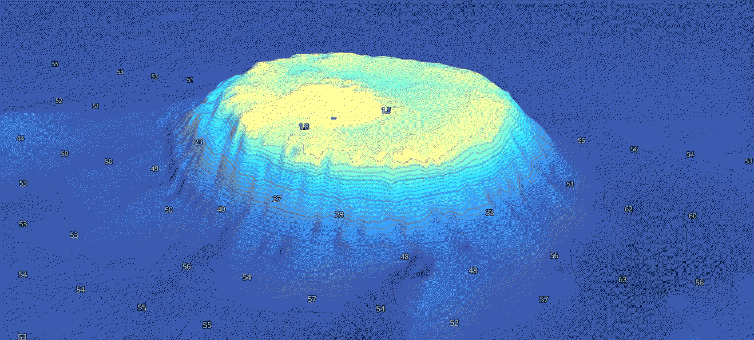
Rendered colour is never mistaken for measured depth. Bathy keeps the elevation grid underneath the image all the way to the map.
- 01
AusSeabed regional surveys
High-resolution multibeam and LiDAR where it exists: reefs, harbours, channels and shelf edges.
- 02
AusBathyTopo
Geoscience Australia’s continuous national bathymetry and topography grid beneath every regional layer.
- 03
GEBCO ocean floor
Global numeric elevation continues beyond the continental shelf, so the picture never ends at a data boundary.
From country to bommie
Zoom changes detail.
Not the map.
Begin with Australia in one frame. Move toward any coast and Bathy automatically resolves the finest published survey available for that location.
- 01Continuous national base
- 02Regional surveys resolve in place
- 03Depth-accurate terrain geometry
- 04Attribution shown tile by tile
The entire Australian coastline
Find the shape
under the surface.
Open Bathy
Before you sound out
Frequently asked.
01Can I navigate with Bathy?
No. Bathy is a visualisation and exploration tool, not a substitute for official nautical charts or navigational aids.
02Where does the depth data come from?
Geoscience Australia’s AusBathyTopo grid, higher-resolution AusSeabed regional surveys, and the GEBCO global elevation grid.
03Is it free?
Yes. The public map is free to explore and requires no account.
04How current is the data?
Bathy follows the latest published compilations and refreshes as new national and regional surveys are released.